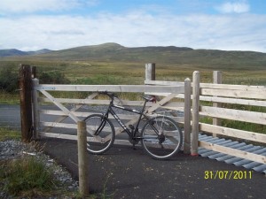
The World Class Great Western Greenway (Westport – Achill Map) is a 43.5km mainly traffic free cycling and walking facility which primarily follows the line of the famous Great Western Midlands Railway, which closed in 1937.
This route offers gentle gradients and some of the most idyllic scenery in the west of Ireland. The route forms part of the National Cycle Network and it is the longest off road cycling experience in the Country.
Bike hire is available in each town and village along the route so even if you don’t have your own bike there’s no excuse.
If the 42km ride back is too much to contemplate then bike hire with a drop-off and collection service is now also available all along the route!
And if your appetite is whetted you can also explore looped cycling routes around Achill.
Link Greenway Page
Achill Cycle Hub – Cycling on Achill Island
The West Mayo Cycle Network, with the Island of Achill as its hub offers three routes varying in distance from 12km to 44km with numerous shorter alternatives. Each cycle offers breath taking views off the west coast off Mayo and Achill Island . Numerous picnic stops are dotted along the route as well as a number of local pubic houses and restaurants.
Wild, windy and stunningly beautiful, Achill has numerous historic sites and excellent facilities and activities. The island has a long history of human settlement with megalithic tombs and promontory forts dating back 5,000 years. There’s also a 15th century fortifield tower house, Kildamhnait Castle , the 19th century Acaill Mission, and the poignant deserted villages at Slievemore and Ailt. The Acaill landscape is also a major draw with picture postcard Blue Flag beaches, some of Europe’s highest cliffs and large tracts of blanket bog sweeping over the island’s two peaks and down to the shore. Walking and cycling along the quiet lanes and trails is a wonderful way to discover the islands interior.
Trail Descriptions
Loop 1
Start / Trailhead: An Caol – Keel
Distance: 44 km
Estimated Time: 3-4 Hours
Terrain: Some Moderate Climbs & a Steep descent/ascent. Spectacular sea cliff scenery along the
Traffic: Generally light but can get busy during holiday Season
To Suit: Suitable for people with medium levels of fitness.
Minimum Gear: Helmet, Bike, Mobile Phone, Fluid, Snacks & Waterproofs
Services: Services are available throughout the Island
Loop 2
Start / Trailhead: An Caol – Keel
Distance: 28 km
Estimated Time: 2-3 Hours
Terrain: Quiet Roads & Bog Tracks.
Traffic: Generally light but can get busy during holiday Season
To Suit: Suitable for people with medium levels of fitness.
Minimum Gear: Helmet, Bike, Mobile Phone, Fluid, Snacks & Waterproofs
Services: Services are available throughout the Island
Loop 3
